Modernization achievements in Inner Mongolia autonomous region
Xinhua |
Updated: 2017-08-09 13:03


Share


Share - WeChat


|
|
| Photo taken on July 1, 2017 shows cows in Hulun Buir grassland, in North China's Inner Mongolia autonomous region. [Photo/Xinhua] |

A positioning system, jointly developed by Inner Mongolia University of Science and Technology and the animal husbandry bureau of Hangjin Banner, Ordos was officially put into use in Inner Mongolia in 2016. By fitting animals with GPS collars, their locations can be viewed on computers or phones, making herding much easier for the herdsmen.


- Xinjiang to introduce football classes across all schools
- Lai Ching-te criticized for selling out Taiwan's competitive industries
- Chinese legislators urged to faithfully perform statutory duties
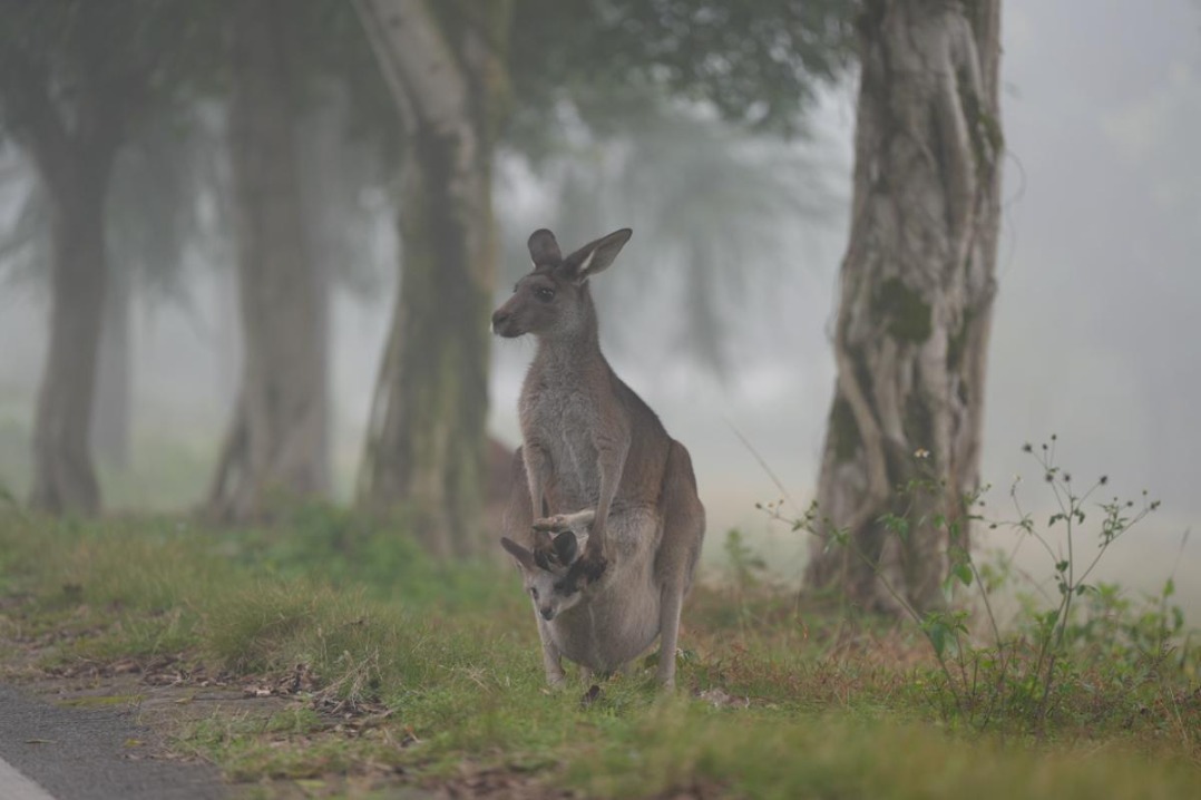
- Fog provides rare, tranquil view of animals at Chongqing zoo
- Mainland police seek information on 2 suspected Taiwan smugglers
- Fujian town produces over 1 billion slippers annually